We have 245 guests and no members online
Twantay
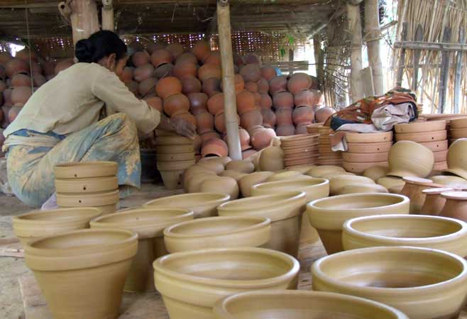
info Twante is located at the opposite of Twante Cannel. 24 km far from Yangon. A boat cruise to Twante is take about two hours and noted for its pottery and cotton weaving industries. It also afford visitors an opportunity to see the way of life along canal.The Twante sewage canal is also known by its name.
info Twante is located at the opposite of Twante Cannel. 24 km far from Yangon. A boat cruise to Twante is take about two hours and noted for its pottery and cotton weaving industries. It also afford visitors an opportunity to see the way of life along canal.The Twante sewage canal is also known by its name.
Kyauk Maung Na Ma
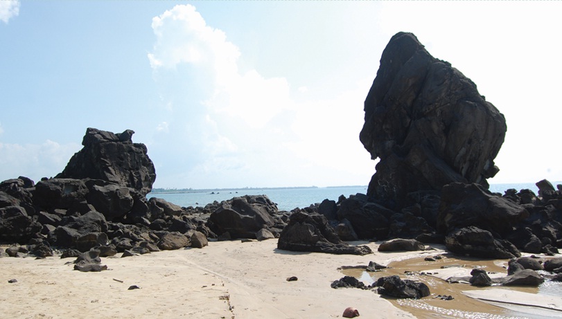
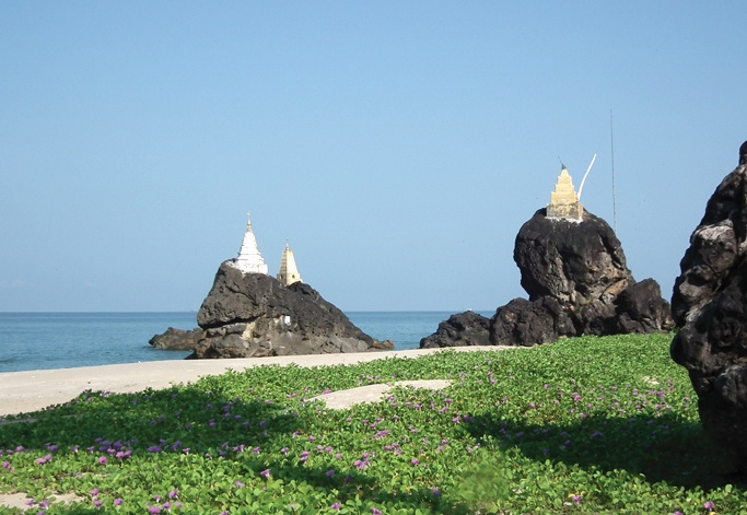
info Kyauk means “rock” and maung na ma, “a brother and a sister”. It is just about 20 minutes walking distance from the Chaung Tha Beach for a quick photo stop.
info Kyauk means “rock” and maung na ma, “a brother and a sister”. It is just about 20 minutes walking distance from the Chaung Tha Beach for a quick photo stop.
Chaung Thar Beach
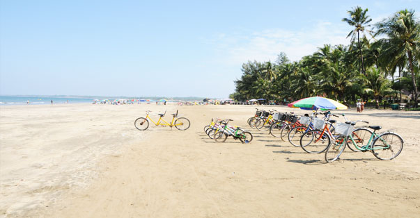
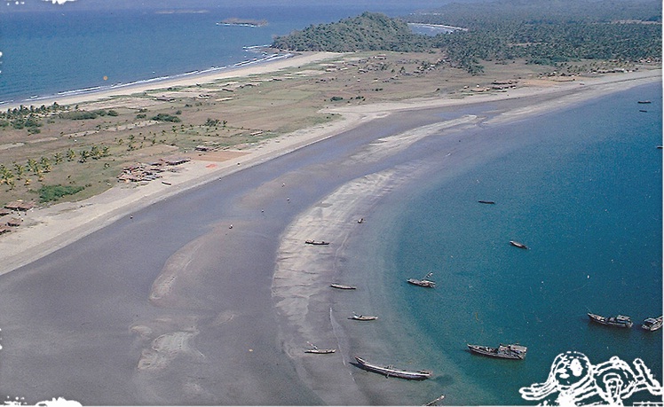
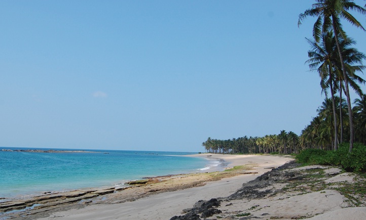
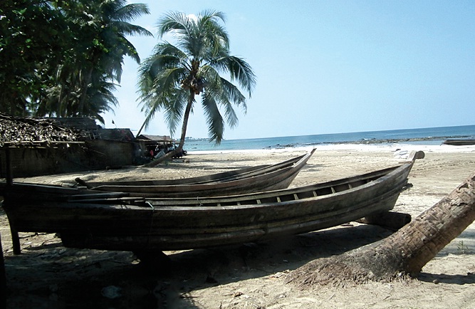
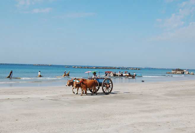
info Chaung Thar Beach is a newly opened beach of Myanmar. Located just 6 hours drive from Yangon. An alternative route is an overnight steamer trip from Yangon. along Twante canal up to Pathein and then a one and a half hour drive by coach to Chaung Thar Beach. This beach is also very popular and famous beach in Myanmar.
info Chaung Thar Beach is a newly opened beach of Myanmar. Located just 6 hours drive from Yangon. An alternative route is an overnight steamer trip from Yangon. along Twante canal up to Pathein and then a one and a half hour drive by coach to Chaung Thar Beach. This beach is also very popular and famous beach in Myanmar.
Gawrangyi Island
info The Island is situated 70 miles (123km) south of Chaung Tha beach. It is usually arranged as a day return trip, where visitors can see coral reefs, common birds, and the process of production of natural fertilizer from guano and the life style of local people.
info The Island is situated 70 miles (123km) south of Chaung Tha beach. It is usually arranged as a day return trip, where visitors can see coral reefs, common birds, and the process of production of natural fertilizer from guano and the life style of local people.
Magyee Creek
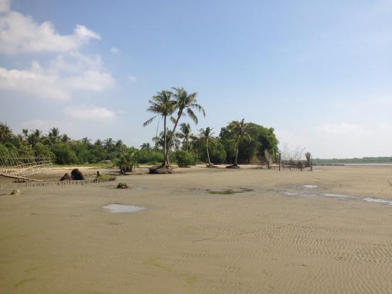
info The creek is situated 15km from Chaung Tha Beach in Ayeyarwaddy Region and accessible by boat to observe the fisherman’s life.
info The creek is situated 15km from Chaung Tha Beach in Ayeyarwaddy Region and accessible by boat to observe the fisherman’s life.
White Sand Island (Thè Phyu Kyun)
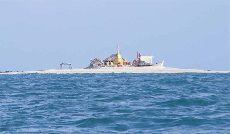
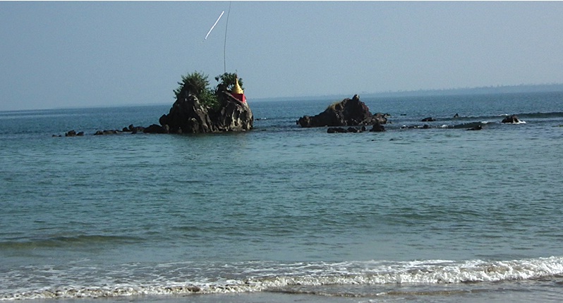
info The White Sand Island is also known as Thè Phyu Kyun (သဲဖြူကျွန်း) to the locals. This small island is facing Chaung Tha Beach, Ayeyarwaddy Region. There is a small pagoda on the island. The island is called “white sand” because of the white seashells and rocky white stones on the shores.
info The White Sand Island is also known as Thè Phyu Kyun (သဲဖြူကျွန်း) to the locals. This small island is facing Chaung Tha Beach, Ayeyarwaddy Region. There is a small pagoda on the island. The island is called “white sand” because of the white seashells and rocky white stones on the shores.
Mawtinson Pagoda
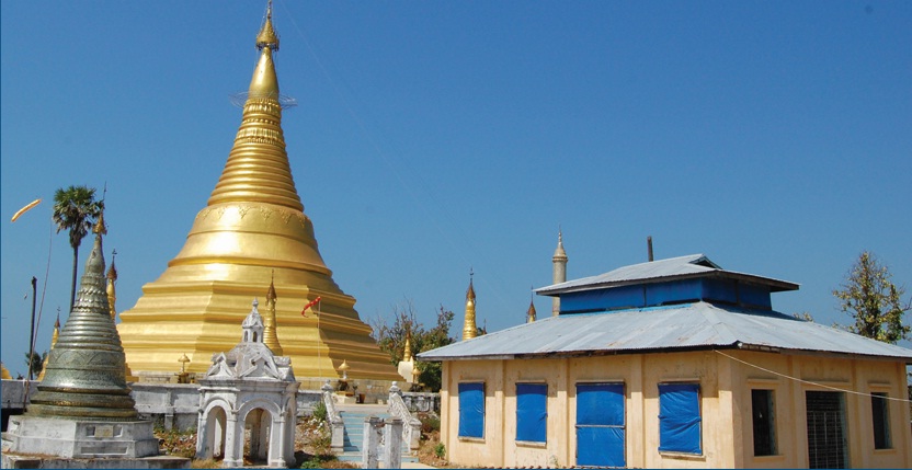
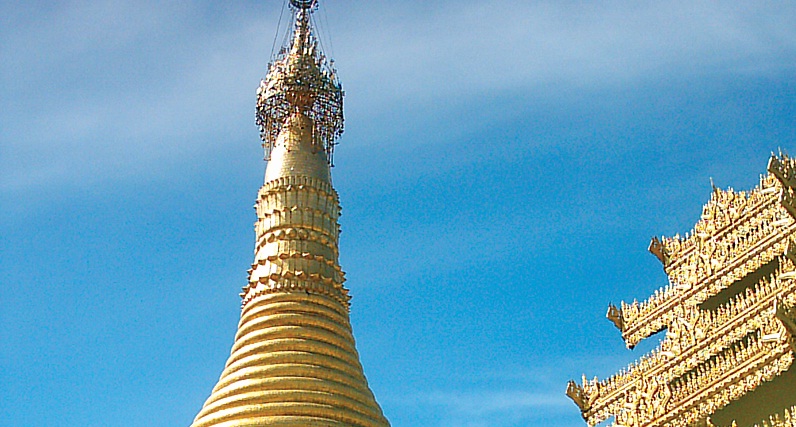
info It is the most revered pagoda in Ayeyarwaddy Region. Following the Pathein River till the Andaman Sea. is Cape Mawtin (Mawtinson). where the wellknown Pagoda Festival during the month of Tabodwe (February. March) is annually held.
info It is the most revered pagoda in Ayeyarwaddy Region. Following the Pathein River till the Andaman Sea. is Cape Mawtin (Mawtinson). where the wellknown Pagoda Festival during the month of Tabodwe (February. March) is annually held.
Zalun Pyi Taw Pyan Pagoda
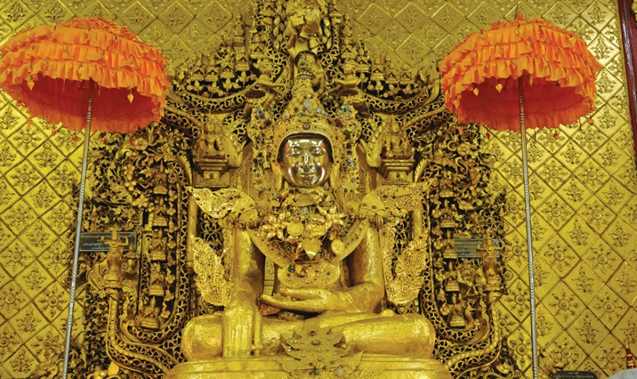
info During the colonial rule of the lower Myanmar, this Bronze Buddha Image was taken to England for minting. However, the colonialists could neither melt nor break it with hammers. At that time, the Queen was suffering nagging headache and nightmares.
info During the colonial rule of the lower Myanmar, this Bronze Buddha Image was taken to England for minting. However, the colonialists could neither melt nor break it with hammers. At that time, the Queen was suffering nagging headache and nightmares.
Meinmahla Kyun (Island) Wildlife
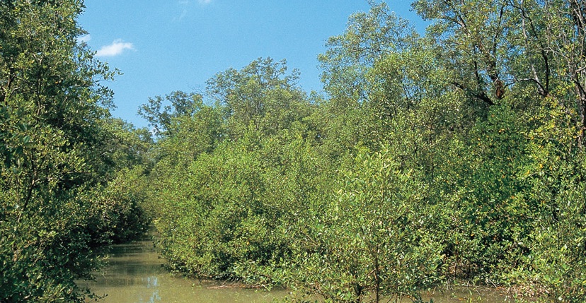
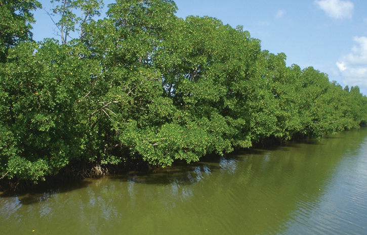
info Meinmahla Kyun (Island) Wildlife Sanctuary is located at 15˚ 50’ N and 95˚ 14’ E at Bogalay Township, Ayeyarwaddy Region, southern part of Myanmar near the Bay of Bengal, having an area of 139.70 sq km covered with mangrove forests.
info Meinmahla Kyun (Island) Wildlife Sanctuary is located at 15˚ 50’ N and 95˚ 14’ E at Bogalay Township, Ayeyarwaddy Region, southern part of Myanmar near the Bay of Bengal, having an area of 139.70 sq km covered with mangrove forests.
Ngwe Saung Beach
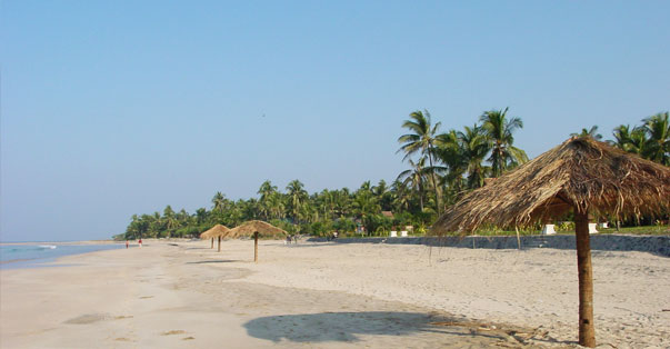
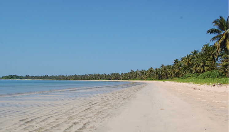
Ngwe Saung is also on the western coast of Myanmar on the Bay of Bengal, nearly directly west of Yangon and a bit south of Ngapali. It has become popular with tourists in just the last two or three years and the quality of the beach, sand and water is comparable to Ngapali Beach.
Ngwe Saung is also on the western coast of Myanmar on the Bay of Bengal, nearly directly west of Yangon and a bit south of Ngapali. It has become popular with tourists in just the last two or three years and the quality of the beach, sand and water is comparable to Ngapali Beach.
Ohn Da Pin Chaine Beach
info It is located 6 miles (10km) north of Chaung Tha Beach. The journey takes around 1 hour walk. pleasant terraces overlooking the sea.
info It is located 6 miles (10km) north of Chaung Tha Beach. The journey takes around 1 hour walk. pleasant terraces overlooking the sea.
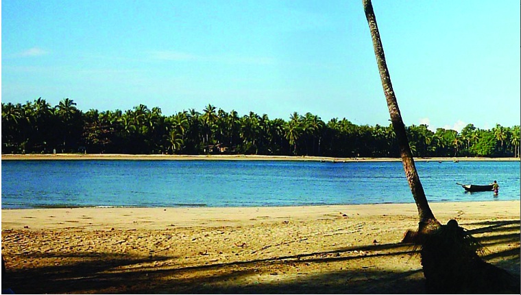
info It is located near the Ngwe Saung Beach. It has full of white sand and lined with coconut palms.
info Shwemokhtaw Pagoda is situated at the center of Pathein. the capital city of Ayeyarwaddy Region. It was originally founded by King Asoka of India in 306 BC as a small spire. its height was increased by various kings.
Pathein
info Pathein is a city (1983 pop. 144.092) and the capital of Ayeyarwady Division. Myanmar. Lying at the western edge of the Ayeyarwady river delta. on the Pathein (Ngawan) River 190 km west of Yangon. Pathein is accessible to large vessels and despite its distance from the ocean. it is the most important delta port outside of Yangon. It is also the terminus of a branch of the main railroad line. The town is a rice-milling and export center.
info Pathein is a city (1983 pop. 144.092) and the capital of Ayeyarwady Division. Myanmar. Lying at the western edge of the Ayeyarwady river delta. on the Pathein (Ngawan) River 190 km west of Yangon. Pathein is accessible to large vessels and despite its distance from the ocean. it is the most important delta port outside of Yangon. It is also the terminus of a branch of the main railroad line. The town is a rice-milling and export center.
Snake Island (Hmwe Island)
info It is one of the best pleasant places near the Thazin village. It takes 45 minutes by motor bike from Ngwe Saung Beach.
info It is one of the best pleasant places near the Thazin village. It takes 45 minutes by motor bike from Ngwe Saung Beach.
Ngwe Saung Beach
info Ngwe Saung is also on the western coast of Myanmar on the Bay of Bengal. nearly directly west of Yangon and a bit south of Ngapali. It has become popular with tourists in just the last four or five years and the quality of the beach. sand and water is comparable to Ngapali Beach.
info Ngwe Saung is also on the western coast of Myanmar on the Bay of Bengal. nearly directly west of Yangon and a bit south of Ngapali. It has become popular with tourists in just the last four or five years and the quality of the beach. sand and water is comparable to Ngapali Beach.
Thazin Village
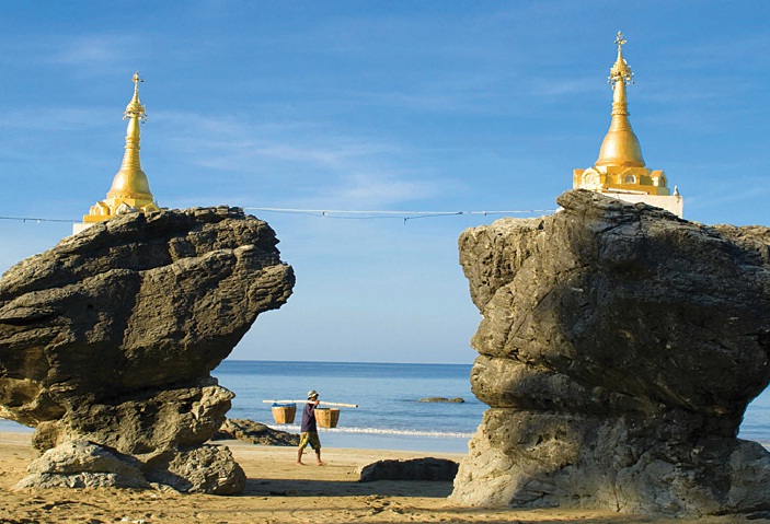
info It is located in the southern part of Ngwe Saung Beach and about 45 minutes drive by motorbike. Two small stupas were built on the amazing twin rocks.
info It is located in the southern part of Ngwe Saung Beach and about 45 minutes drive by motorbike. Two small stupas were built on the amazing twin rocks.
Aung Mingalar Island
info This island is only 10 minute engine-boat ride from Chaung Tha.
info This island is only 10 minute engine-boat ride from Chaung Tha.
Twin Rock Pagoda
info One of the landmarks of Ngwe Saung is the twin Pagodas, built on the two rocks known as the Kyauk Maung Hna Ma. This is the best tourist spot to take photos of the sunset.
info One of the landmarks of Ngwe Saung is the twin Pagodas, built on the two rocks known as the Kyauk Maung Hna Ma. This is the best tourist spot to take photos of the sunset.
Bird Island
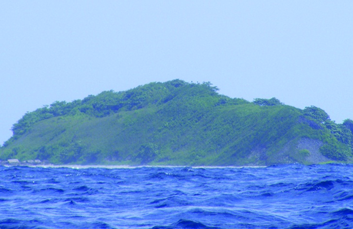
info It is located to the north west of Chaung Tha in the Bay of Bengal. The Bird Island is a rocky hill which has limestones and the edible bird nests. where the birds dwell on the hills naturally.
info It is located to the north west of Chaung Tha in the Bay of Bengal. The Bird Island is a rocky hill which has limestones and the edible bird nests. where the birds dwell on the hills naturally.
U Do Creek
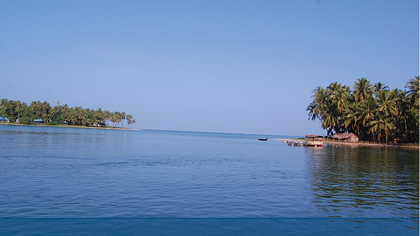
info U Do Creek is located near Chaung Tha Beach. Ayeyarwaddy Region. Small wooden country boats are the mode to travel in U Do Creek and to visit several villages around that area.
info U Do Creek is located near Chaung Tha Beach. Ayeyarwaddy Region. Small wooden country boats are the mode to travel in U Do Creek and to visit several villages around that area.
Elephant Camp
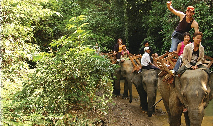
info This Elephant Camp near Ngwe Saung is 32km from the riverbank of Pathein. For the visitors. the camp has well-trained elephants to conduct elephant riding program in the forest.
info This Elephant Camp near Ngwe Saung is 32km from the riverbank of Pathein. For the visitors. the camp has well-trained elephants to conduct elephant riding program in the forest.
Wet The Bay View
info Wet The Bay View is located 9 miles (15km) north of Chaung Tha Beach. It is the best place to enjoy the beauty of sea view and also for swimming. picnicking. painting. fishing etc.
info Wet The Bay View is located 9 miles (15km) north of Chaung Tha Beach. It is the best place to enjoy the beauty of sea view and also for swimming. picnicking. painting. fishing etc.
