We have 274 guests and no members online
Photo Credit - www.panoramio.com
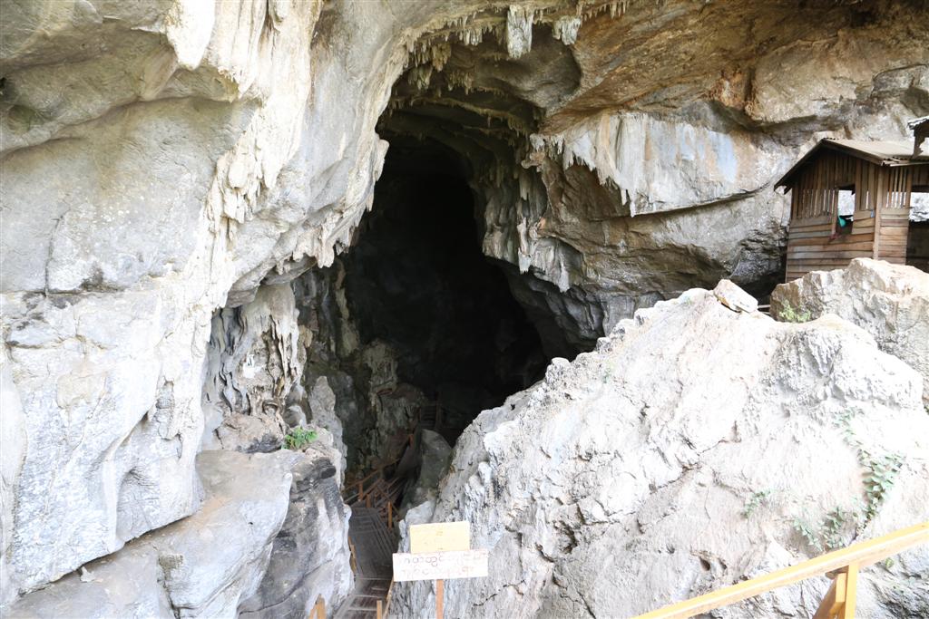
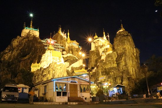
Kyat Gu (ကြတ်ဂူ) is located 10-mile away from Loikaw. this sprawling natural limestone cave has broken wooden boxes which are believed to be coffins from many years ago. Those who like to have an excitement. this is the one they should take!
Kyat Gu (ကြတ်ဂူ) is located 10-mile away from Loikaw. this sprawling natural limestone cave has broken wooden boxes which are believed to be coffins from many years ago. Those who like to have an excitement. this is the one they should take!
Photo Credit - www.tripadvisor.com
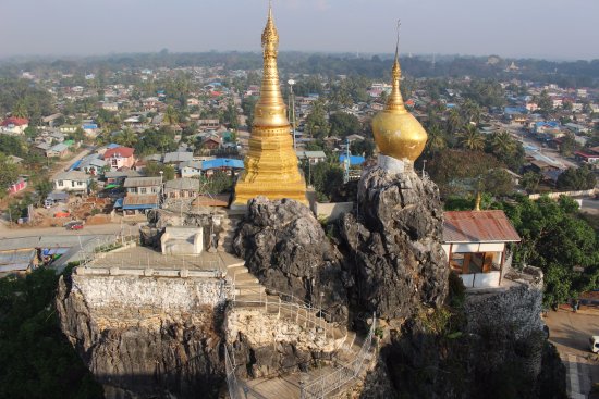
info Loikaw (လွိုင်ကော်) has a population of about 11,000 and it is the capital of Kayah State in Myanmar. It is located near the State’s northern tip, at an elevation of 1200 meters. The inhabitants are mostly Kayah also known as Karenni. Myanmar’s largest hydropower plant is located 20 km east of Loikaw at Lawpita Falls and named as Lawpita Hydropower Plant.
info Loikaw (လွိုင်ကော်) has a population of about 11,000 and it is the capital of Kayah State in Myanmar. It is located near the State’s northern tip, at an elevation of 1200 meters. The inhabitants are mostly Kayah also known as Karenni. Myanmar’s largest hydropower plant is located 20 km east of Loikaw at Lawpita Falls and named as Lawpita Hydropower Plant.
Photo Credit - www.myanmartravels.net
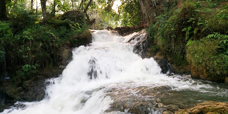
The most accessible and popular waterfalls is located 15 miles in the north of Loikaw, near Shan-Kayah border, on the road towards Se Saing and Taunggyi.
The most accessible and popular waterfalls is located 15 miles in the north of Loikaw, near Shan-Kayah border, on the road towards Se Saing and Taunggyi.
Photo Credit - www.myanmartravels.net
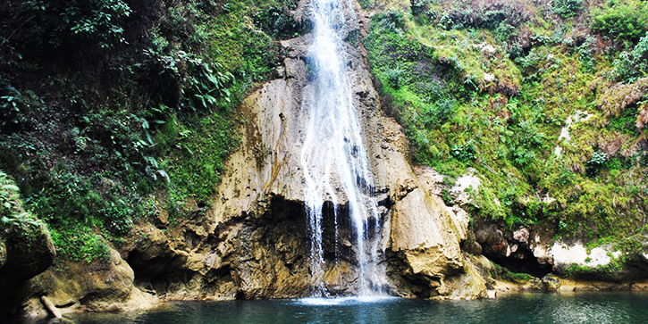
The Lawpita Waterfalls (လောပိတ ရေတံခွန်) are formed by the famous Bilu Chaung (the Ogre Stream), which flows out of Inle Lake in the far north.
The Lawpita Waterfalls (လောပိတ ရေတံခွန်) are formed by the famous Bilu Chaung (the Ogre Stream), which flows out of Inle Lake in the far north.
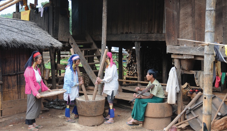
info ”Padaung” means “long neck” in the Shan language. The Padaungs ethnically belong to the larger Kayin race and their fixed abodes are to be found scattered in the area between the Kayah State, east of Taungoo and Southern Shan State.
Photo Credit - www.myanmartravels.net
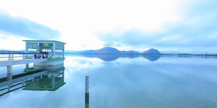
The scenic man-made Ngwe Daung Dam (ငွေတောင်ဆယ်) is located approximately 10 miles south of Loikaw in Deemoso township, on the way to Pan Pet Kayan village. It is a local hotspot for leisure due to its beautiful scenery with hills backdrop and restful atmosphere.
The scenic man-made Ngwe Daung Dam (ငွေတောင်ဆယ်) is located approximately 10 miles south of Loikaw in Deemoso township, on the way to Pan Pet Kayan village. It is a local hotspot for leisure due to its beautiful scenery with hills backdrop and restful atmosphere.
